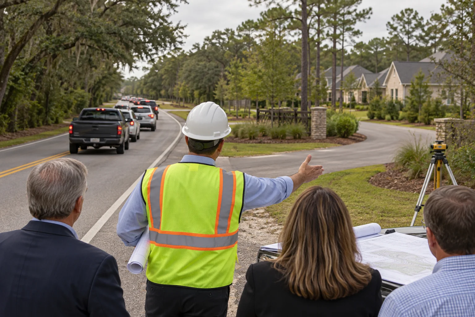
FAIRHOPE, AL — A fictional planning commission approved a large residential development Monday after the project’s traffic engineer confirmed that future residents would simply take another road whenever the road next to the development became crowded.
The finding appeared on page 184 of a traffic-impact study, immediately after several charts showing that 612 new homes would generate almost no additional vehicles during any hour in which nobody needed to go anywhere.
“The key is route choice,” said imaginary traffic engineer Miles Detour. “If drivers encounter congestion, they can select a different route. Our model assumes all alternative roads are wider, emptier and emotionally prepared to receive them.”
Commissioners called the explanation reassuring and asked whether the other road had been notified.
Traffic dispersed beyond the study area
According to the fictional study, most new trips would disappear from the project entrance, travel beyond the edge of the map and become somebody else’s traffic.
The analysis predicted a modest increase of 487 vehicles during the morning peak, but classified 463 of them as “background movement” because traffic already exists in the general concept of Fairhope.
Another 19 vehicles were removed from the count after engineers concluded their drivers would work from home, ride bicycles or reconsider employment. The remaining five were assigned to a turn lane.
“This is not congestion,” Detour explained. “It is a brief gathering of transportation choices.”
Residents asked what would happen when every alternate route also filled with cars. The study said drivers could continue selecting other roads until they reached a roadway not included in the study.
One fictional resident noted that several suggested alternatives were narrow residential streets. Detour said that was precisely why they remained underused.
A road for every objection
The developer presented a color-coded map showing six escape routes from the subdivision. Two crossed roads already described by residents as impassable, one ended at a locked gate and another appeared to continue through a retention pond.
Project representative Grant Growth said the map was conceptual.
“The important thing is that the lines go somewhere,” Growth said. “Transportation planning is fundamentally about arrows.”
Commissioners were particularly impressed by a broad green arrow labeled only with a compass direction. Staff said the arrow represented regional mobility and should not be confused with a funded road.
The plan also includes a traffic signal “when warranted,” a turn lane “when feasible” and sidewalks “where practical.” The homes themselves are expected to be built immediately.
Opponents requested a second entrance. The developer agreed to reserve a narrow strip of land where an entrance might someday be discussed after the last house is occupied.
Approval with conditions
Before voting, commissioners added a condition requiring the developer to encourage residents to leave at different times.
Suggested departures will be staggered between 4:30 a.m. and 11:45 a.m., with premium evening slots available through the homeowners association.
The commission also asked the traffic engineer to monitor the intersection after construction. Detour agreed, provided the monitoring occurred outside peak hours and did not include days when schools, offices, shops or restaurants were open.
The development passed unanimously after a final slide demonstrated that a vehicle traveling 25 miles per hour would spend only four minutes in traffic if the traffic were removed.
“I think the study answers the question,” said fictional commissioner Wade Through. “There will be traffic, but it will have options.”
At press time, residents on the other road were reviewing a separate traffic study advising them to take the first road.